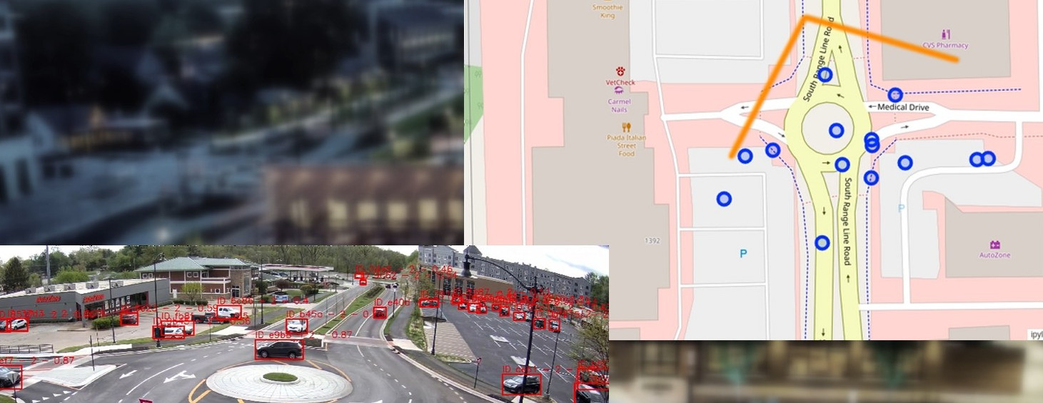
Starwit’s Awarenes Engine (SAE) just got a new feature. Detected and tracked objects can now be mapped to geo-referenceable coordinates. This means, that any detected movement can now be placed on a map.
The following video shows an example, of how this feature works. You see footage from a street camera and to every detected and tracked object geo coordinates are added.
Stay tuned for a detailed description, how to use this feature. Source code for GeoMapper is located here: https://github.com/starwit/geo-mapper and is part of Starwit’s Awareness Engine (SAE).
This functionality makes use of the CameraTransform project and the source code can be found here: https://github.com/rgerum/cameratransform

